


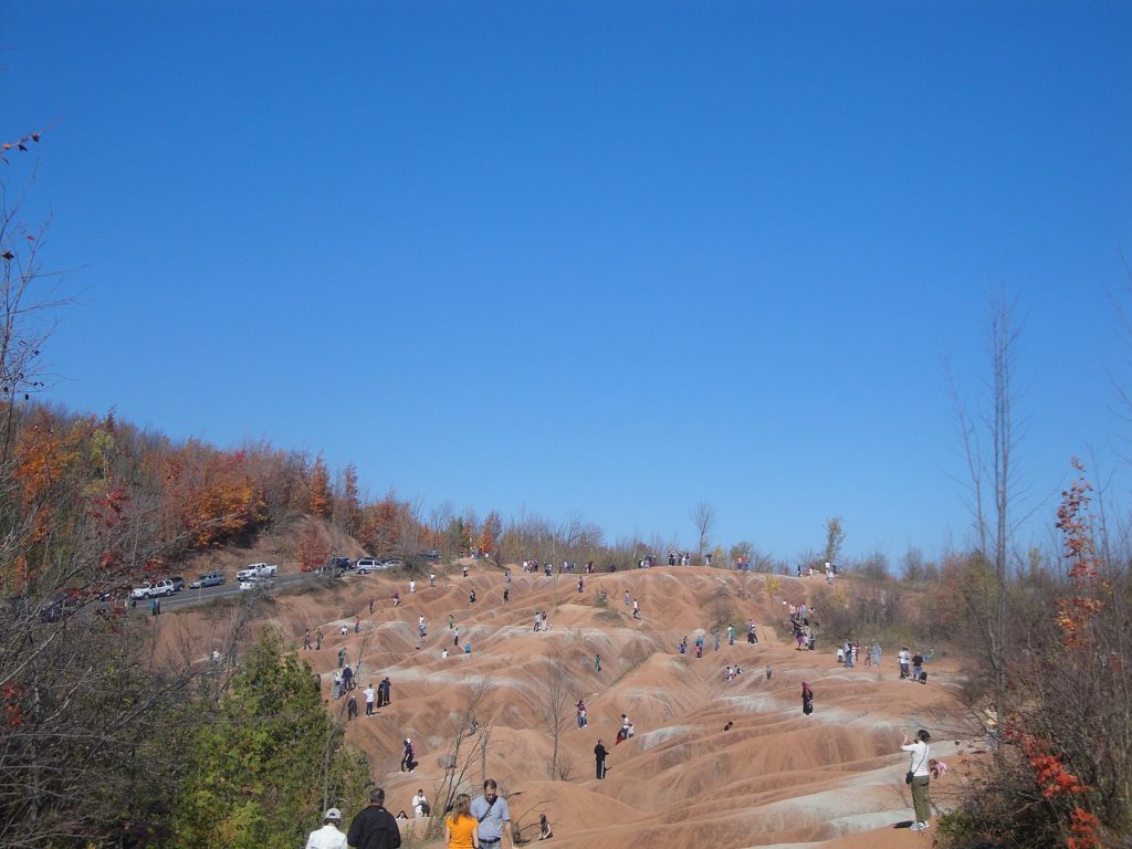
The site occupies an area of approximately 0.4 square kilometers and features exposed and highly eroded Queenston shale. The Cheltenham Badlands are a significant educational site due to the readily visible geologic processes and the red color and the unique topography of the exposed shale make this a popular tourist site. The site is a Provincial Earth Sciences Area of Natural and Scientific Interest (ANSI) since it is considered one of the best examples of “badlands topography” in Ontario.
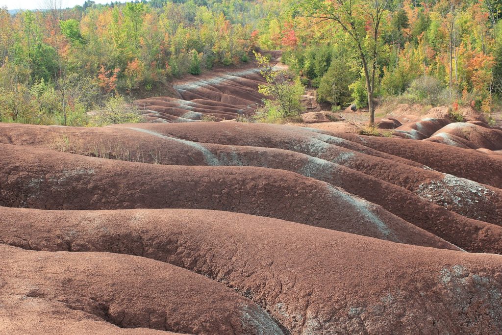
Hundreds of millions of years ago, Cheltenham was a shallow sea. Rivers that originate in the mountains send back iron-rich red sediments into the waters. Over time, the sea gradually disappeared, the sediment of the sea deposited to form a large, muddy plain and this is the foundation for Queenston shale to form.

The removal of trees and early farming practices caused the shallow topsoil to erode away, in turn exposing the underlying Queenston shale. Rain, snowmelt and freeze-thaw conditions caused rapidly accelerating erosion of the shale, resulting in the unique ridge and gully landscape known today as the Cheltenham Badlands.
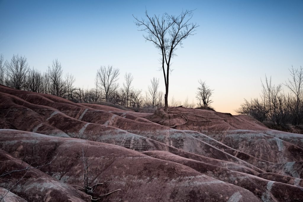
This hidden of Ontario gem might make you feel like you’re walking on Mars. However, while the public can visit the Badlands, walking on them is not permitted.
According to the Internet
 Salar de Huasco: The beauty of Chile’s highland")

 Puerto Vallarta: The gem of Mexico’s Pacific coast")
 Alvord Desert: Oregon’s hidden gem")
 Mont Ventoux: Paradise for cyclists")