


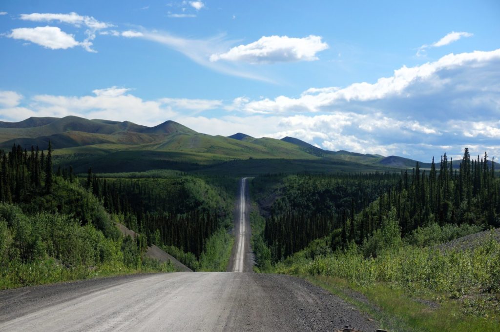
The Dempster Highway is a 737.5-kilometer gravel highway in Canada that connects the Klondike Highway in Yukon to Inuvik, Northwest Territories on the Mackenzie River delta. It is the only all-season public road to cross the Arctic Circle in Canada. The driving route leads you to the most remote area of Canada.
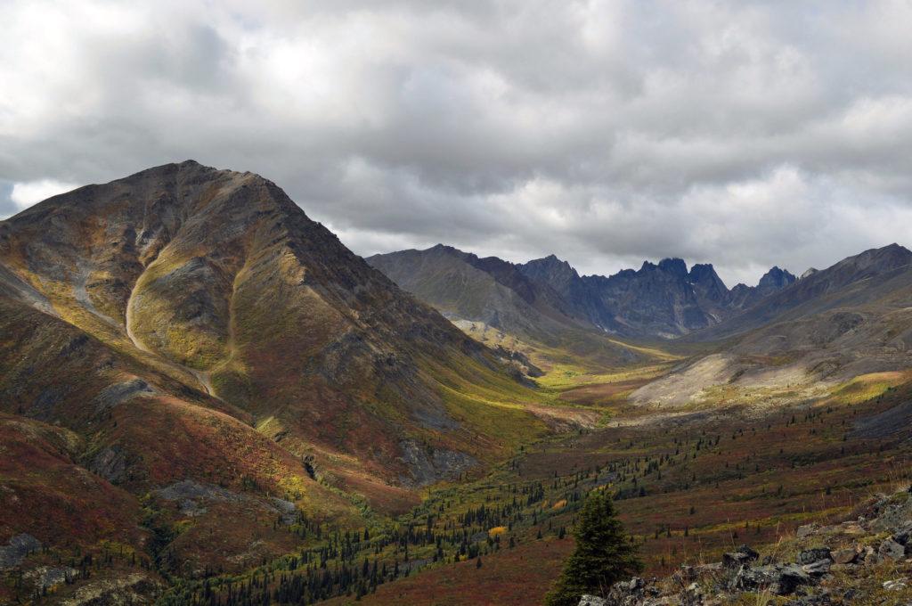
At the start of the route, located just outside of Dawson City, Tombstone Territorial Park is home to stunning mountain scenery, including the Tombstone Range and the Ogilvie Mountains. The park is also a great place to see wildlife, such as caribou, Dall’s sheep, and grizzly bears.
In the middle of the route, Eagle Plains is a small community located about halfway between Dawson City and Inuvik. The community is a popular stop for travelers, as it offers a number of services, such as gas stations, restaurants, and lodging.
The Arctic Circle is located about 370 kilometers north of Dawson City. Crossing the Arctic Circle is a symbolic milestone for many travelers, and there is a signpost marking the spot where the highway crosses the line.
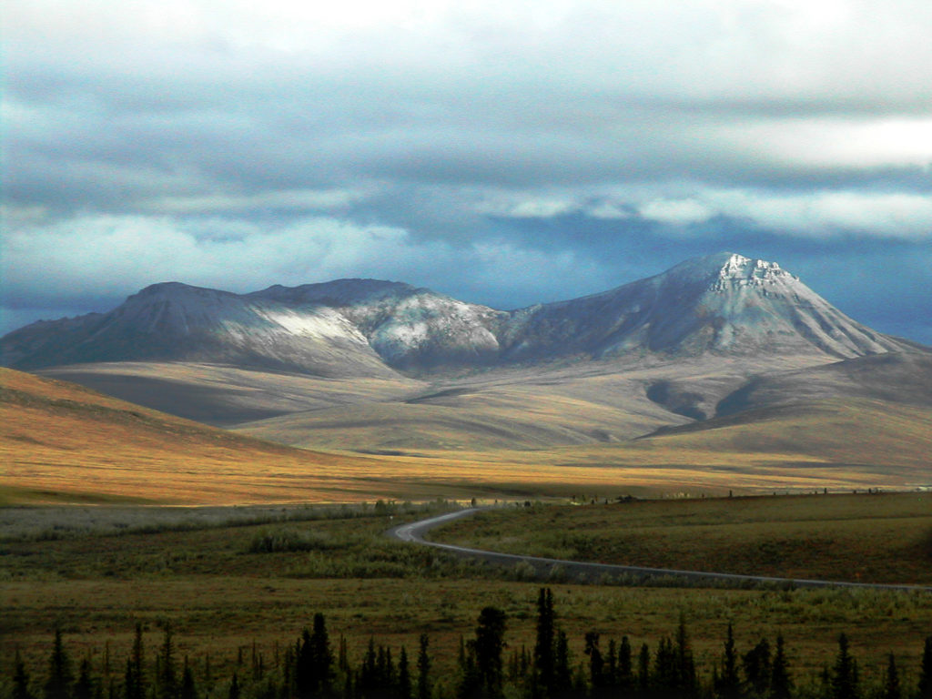
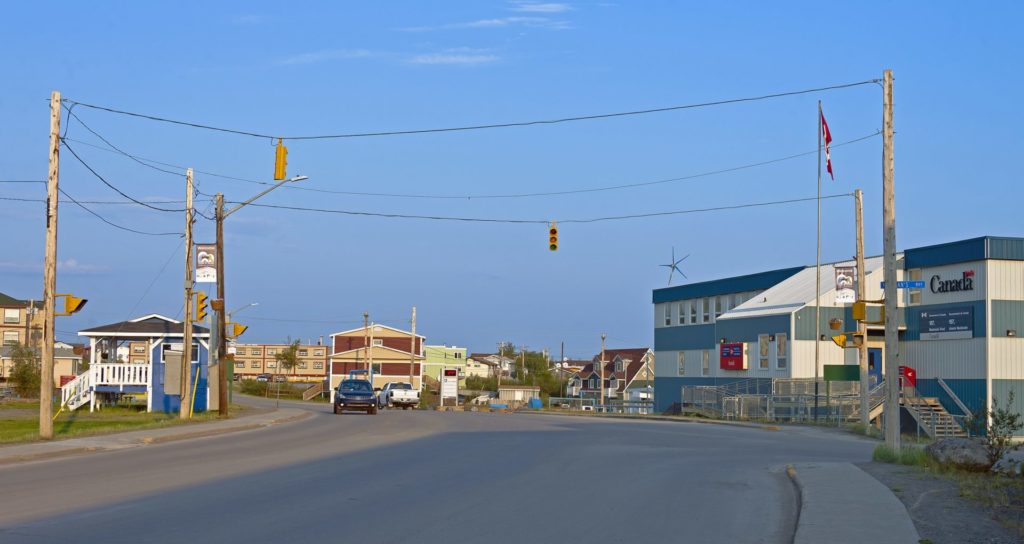
The Richardson Mountains are a mountain range located in the Northwest Territories. The Dempster Highway passes through the mountains, offering stunning views of the peaks and valleys. In the end, Inuvik is the largest community in the Northwest Territories. The town is located on the Mackenzie River delta and is a popular destination for travelers who are interested in learning about Arctic culture and history.
Driving the Dempster Highway is an adventure, and it is important to be prepared for the challenges of driving on a gravel road in remote areas. The highway is sometimes closed in the winter due to snow and ice, and it is important to check road conditions before you travel.
According to the Internet
 Lucerne: A lakeshore city of Switzerland")
 Gruta do Lago Azul: The blue wonder of Brazil")
 Pikes Peak Highway: Scenic road in the American West")
")
 Salar de Huasco: The beauty of Chile’s highland")