


Cliffs of Moher run for about 14 kilometers. At their southern end, they rise 120 meters above the Atlantic Ocean at Hag’s Head, and, 8 kilometers to the north, they reach their maximum height of 214 meters just north of O’Brien’s Tower, a round stone tower near the midpoint of the cliffs, built-in 1835 by Sir Cornelius O’Brien, then continue at lower heights. The closest settlements are the villages of Liscannor 6 km to the south, and Doolin 7 km to the north.
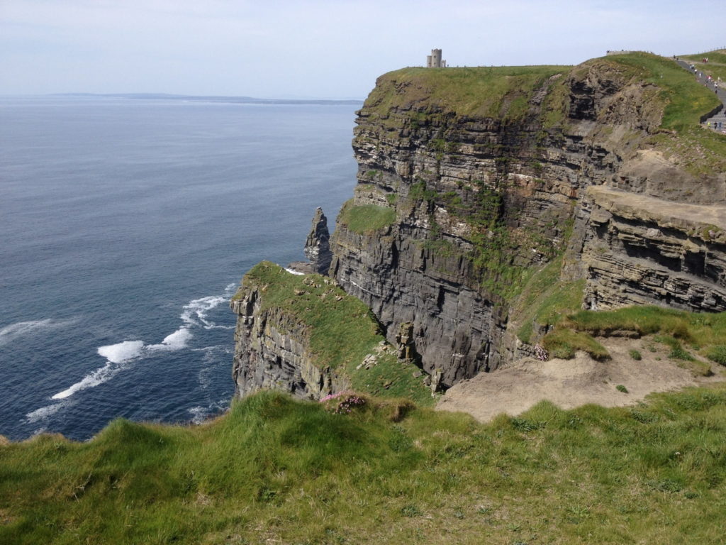
The cliffs consist mainly of beds of Namurian shale and sandstone, and the oldest rocks are at the bottom of the cliffs. During the time of their formation between 313 and 326 million years ago, a river dumped sand, silt, and clay into an ancient marine basin. Over millions of years, the sediments collecting at the mouth of this ancient delta were compacted and lithified into the sedimentary strata preserved in the now-exposed cliffs.
The area is considered a geologic laboratory that preserves a record of deltaic deposition in deep water. Individual strata vary in thickness from just a few centimeters to several meters, each representing a specific depositional event in the history of the delta. In aggregate, up to 200 meters of sedimentary rocks are exposed in the Cliffs of Moher.
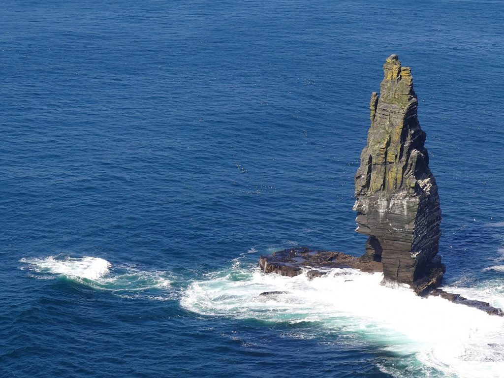
Today the cliffs are subject to erosion by wave action, which undermines the base of support causing the cliff to collapse under its own weight. This process creates a variety of coastal landforms characteristic of erosional coasts such as sea caves, sea stacks, and sea stumps. Branaunmore, a 67-meter high sea stack at the foot of the Cliffs of Moher below O’Brien’s Tower, was once part of the cliffs, but coastal erosion gradually removed the layers of rock that joined it with the mainland. A large sea arch can also be seen at Hag’s Head below the Napoleonic signal tower and many smaller sea arches can be seen from sea level.
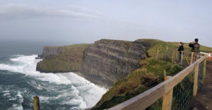
The official Cliffs of Moher Coastal Walk runs for 18 km, from Hag’s Head to Doolin, passing the Visitor Centre and O’Brien’s Tower, with good viewing throughout, subject to rain or sea fog.
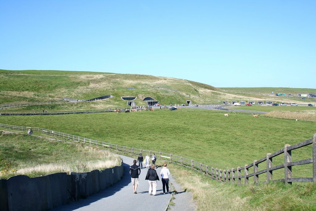
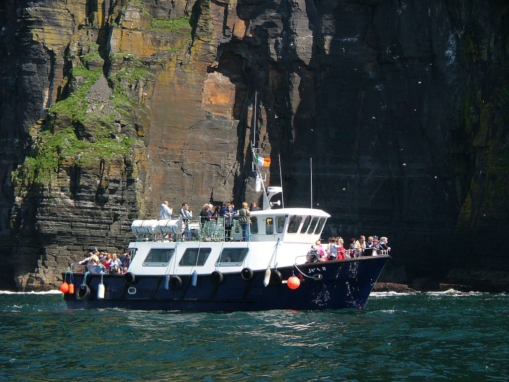
There are two paths near the visitor center, the official one being set back a little for safety, while an unofficial path runs closer to the edge. People were warned to stay on the official path further off the cliff edge instead of the unofficial seaside trail. Separate ferry trips also allow tourists to view the cliffs from sea level, and at certain times fixed-wing aircraft from Connemara Airport also provide a viewing opportunity.
From the cliffs, and from atop the tower, visitors can see the Aran Islands in Galway Bay, the Maumturks and Twelve Pins mountain ranges to the north in County Galway, and Loop Head to the south. The cliffs rank among the most visited tourist sites in Ireland, with around 1.5 million visits per year.
According to Wikipedia
 Mont Ventoux: Paradise for cyclists")
 Sucre: A captivating destination of Bolivia")
 Lakagígar: Dramatic landscape of Iceland")
 Selkirk Loop: Discover the majestic beauty of the Selkirk Mountains")
