


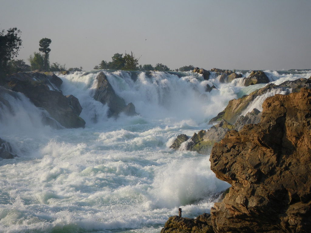
The falls, also known as Khone Phapheng, are located in an area called Si Phan Don, which literally translates to “Four thousand islands”. At this point the Mekong river broadens out; during the rainy season, the river and series of cascades are kilometers wide and extend over a length of almost ten kilometers downstream.
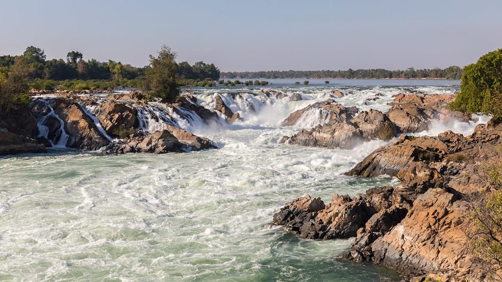
The falls are most impressive during the dry season. In the rainy season, much of the rapids and falls disappear as a result of the raised water level in the river. The waterfalls are formed by the Mekong River cascading across a resistant bed of hard basalt believed to be an old fault line on the Sunda tectonic plate, which slopes in curvilinear form and forces the river to surge through with formidable power and speed.
Khone Falls has historically been considered the barrier between the Upper and Lower Mekong Rivers. The two banks connect the provinces of Champasak in Laos on the northeast side and Stung Treng in Cambodia on the southwest side. The falls transform the easily navigable Upper Mekong into a muddled six-mile-wide raging torrent, as the river fractures into countless foaming waterways and plunge down over the jagged bedrock.
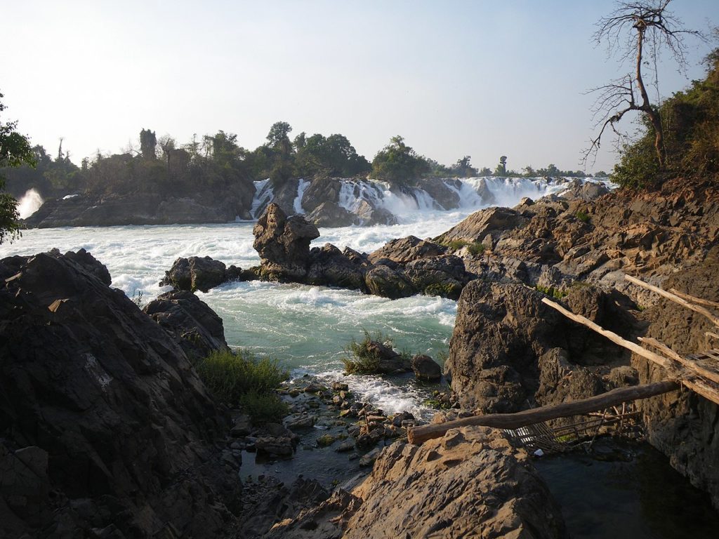
The incredibly powerful waterfalls and rapids are completely impassable for boats and are the main reason that the Mekong River can’t be navigated by ship all the way downstream from China through Cambodia and Vietnam to the South China Sea. The splintered river extends across a huge area and has formed a tangled network of thousands of small islands nestled amongst the surging rapids.
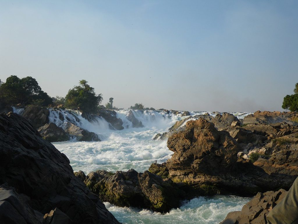
The falls are now one of Laos’ most popular tourist destinations and draw in visitors from all over the world.
According to the Internet
 Hingol National Park: The beauty of rugged terrain in Pakistan")
 Red Centre Way: The loop route in Australian Outback")
 Annecy: Pearl of the French Alps")
 Rapa Valley: The majestic green beauty of Sweden")
 Simplon: The journey between northern and southern Europe")