


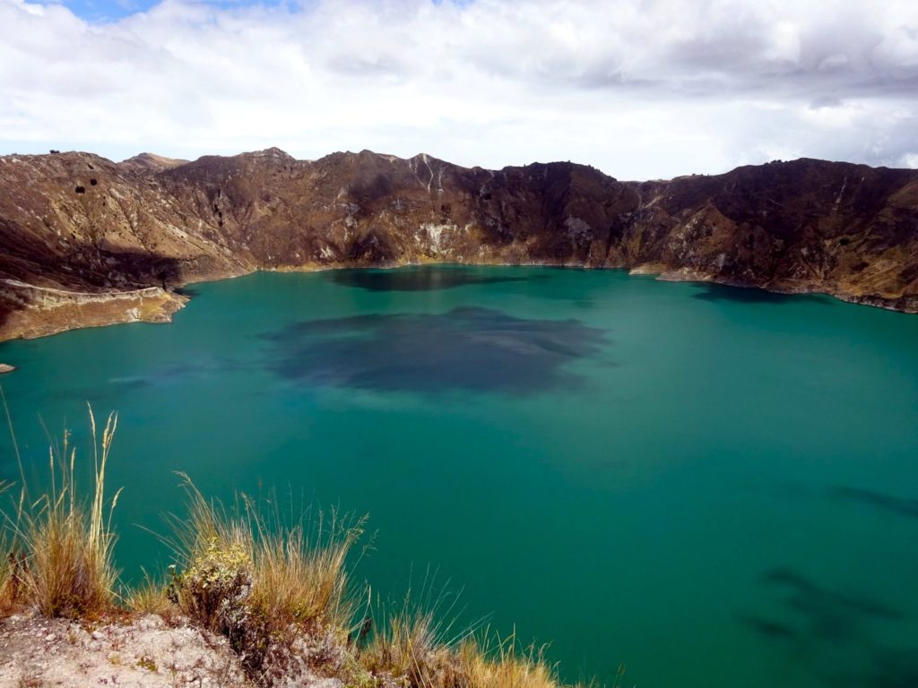
Quilotoa is a is part of the Andean Volcanic Belt and is located in the Cotopaxi Province of Ecuador. The Quilotoa volcano is the westernmost volcano in Ecuador’s Western Cordillera. About 800 years ago, the volcano erupted, and the force of the eruption led to its subsequent collapse, forming what is now the lake. Over time, the caldera formed by the collapse filled with water, which gets its beguiling blue-green color from minerals dissolving.
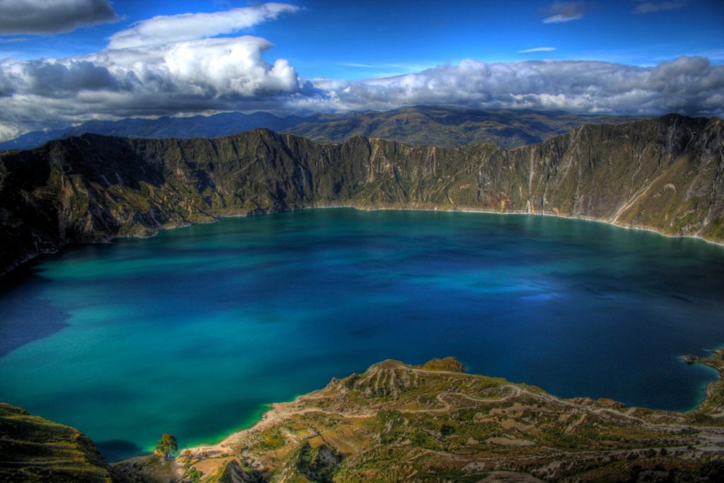
One of the things that makes Quilotoa so marvelous is its proportions. The caldera lake is 3 kilometers in width, and its walls reach 400 meters in height from the surface of the lake to the viewpoint area. The lake in turn is an astonishing 240 meters deep. Between the water, surrounding peaks, and intriguing rock formations.
While there are other volcanoes surrounding the perimeter of the lake, it is safe to visit. Historic data is spotty at best, but no eruptions have been mentioned in historical texts since the late 1700s and the area is a major tourist site. However, Quilotoa and its surroundings sit at about 3,915 meters above sea level. This definitely qualifies as high altitude, and it can be really dangerous to not take it seriously.
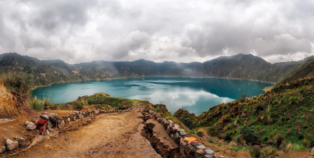
The area surrounding Quilotoa is part of the Quilotoa Loop, a popular trekking route that connects several remote Andean villages. The loop offers spectacular views of the crater, as well as opportunities to experience traditional Andean culture and interact with local communities.
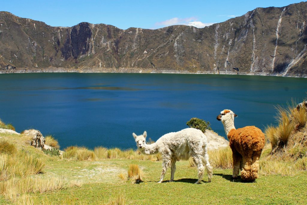
The landscape around Quilotoa is rugged, dramatic, and incredibly beautiful, making it a popular destination for adventurers, hikers, and nature enthusiasts.
According to the Internet

 Puerto Vallarta: The gem of Mexico’s Pacific coast")
 Alvord Desert: Oregon’s hidden gem")
 Mont Ventoux: Paradise for cyclists")
 Sucre: A captivating destination of Bolivia")