


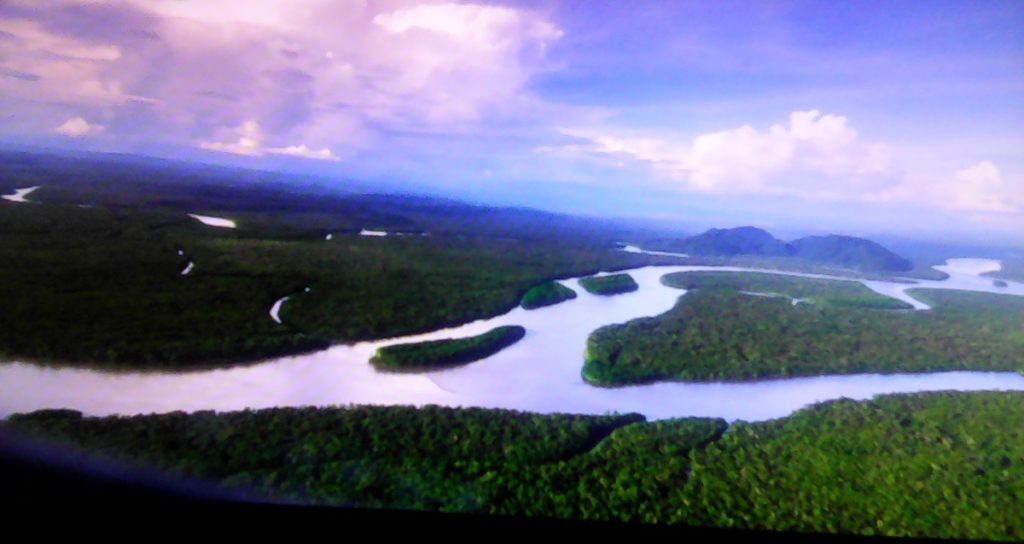
The Fly River is located in the southwest of Papua New Guinea and Papua Province of Indonesia. It rises in the Victor Emanuel Range arm of the Star Mountains and crosses the southwestern lowlands before flowing into the Gulf of Papua in a large delta.
The Fly was first discovered by Europeans in 1845 when Francis Blackwood, commanding the corvette HMS Fly, surveyed the western coast of the Gulf of Papua. The river was named after his ship and he proclaimed that it would be possible for a small steam-powered boat to travel up the mighty river.
The Fly River is the third longest river on the island of New Guinea, after the Sepik River and Mamberamo River, with a total length of 1,060 km and the largest by volume of discharge in Oceania, the largest in the world without a single dam in its catchment, and overall the 20th-largest primary river in the world by discharge volume.
The Fly Delta exhibits a distinctive funnel shape in plan view, attesting to the fundamental role of tidal currents in shaping the Delta’s geomorphology. Mean spring tidal ranges are amplified within the delta, from around 3.5m at the seaward entrance of the distributary channels, reaching a peak of about 5m at the delta apex. Seismic profiles and radiometrically dated core samples indicate that the delta is prograding seawards at an average rate of about 6 m/a. The Fly Delta is considered a global “type case” of a tide-dominated delta and the patterns of sedimentation seen in the Delta today have been studied by sedimentary geologists as a model for interpreting the ancient rock record.

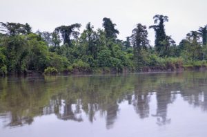
The river delta is studded with low and swampy islands covered with mangroves and nipa palms, with villages and cultivated areas on these islands. The land on both sides of the estuary is of the same character. The islands in the estuary are flat and covered with thick, fertile alluvial soil.
According to Wikipedia
 Royal Flying Doctor Service: World’s oldest aeromedical service")
 Canning Stock Route: The longest historic stock route in the world")
 New Caledonian giant gecko: The largest extant gecko in the world")
 Michael Smith: World’s first person to solo navigate the world in a single-engine flying boat")
 Melbourne University Lacrosse Club: The oldest continuously existing lacrosse club in the world")