


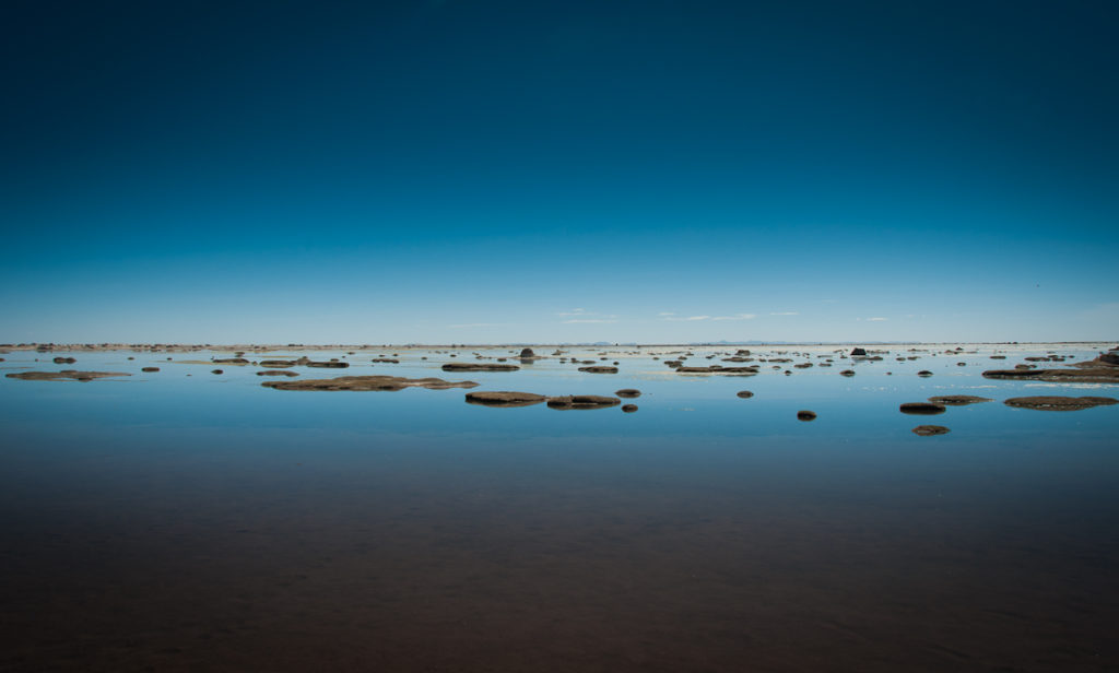
Uru Uru Lake is a Bolivian lake situated at an elevation of 3,686 meters. It has a surface area of 214 square kilometers and is fed by the Desaguadero River and the Jach’a Jawira.
The lake’s formation is an interesting one. Back in 1962, the flow of the Desaguadero River, which connects Lake Titicaca and Lake Poopó, caused extensive sedimentation near a small hermitage called “Santo Tomás,” eventually inundating it and creating Lake Uru Uru.
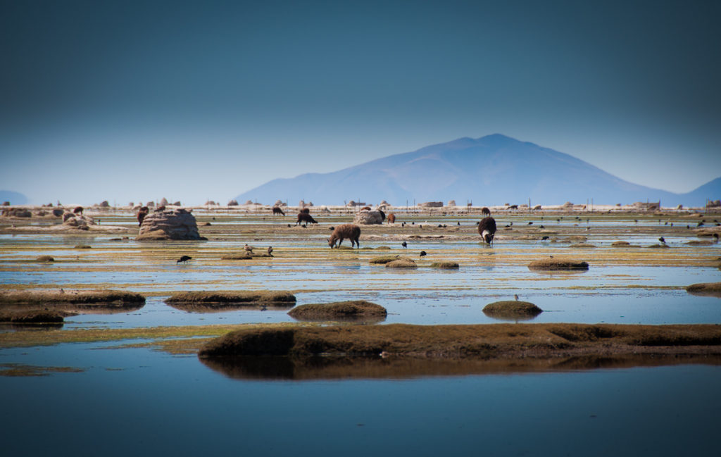
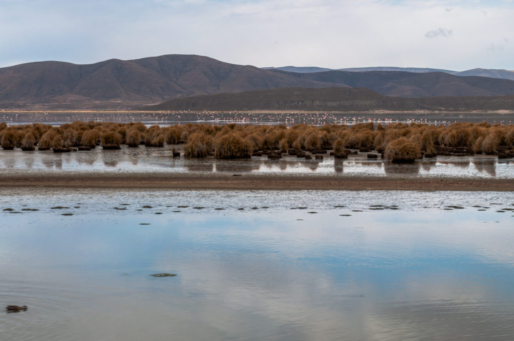
Lake Uru Uru’s landscape presents a story of contrasting beauty and environmental strain. On one hand, the lake can erupt in a startling display of vivid reds and oranges, a stark reminder of the material spewed by nearby mines. This unnatural brilliance creates a disturbing contrast with the natural shores, where pockets of reeds and wetlands provide refuge for birds and other wildlife. The influence of Oruro, a bustling mining city, is undeniable on the surrounding landscape.
Lake Uru Uru’s landscape is a tapestry woven with vibrant hues, both natural and man-made. It’s a place where beauty and environmental challenges coexist, a reminder of the delicate balance between human progress and the health of our planet.
According to the Internet
 Puerto Vallarta: The gem of Mexico’s Pacific coast")
 Alvord Desert: Oregon’s hidden gem")
 Mont Ventoux: Paradise for cyclists")
 Sucre: A captivating destination of Bolivia")
 Lakagígar: Dramatic landscape of Iceland")